 |
 |
 |
 |
 |
|
|
|||||||||||
|
|
|
||||||||||||||||
 |
 |
|
 |
 |
 |
|
|||||||||||
 |
 |
|
|||||||||||||||
 |
|
 |
|
||||||||||||||
|
|
|
||||||||||||||||
 |
 |
|
|||||||||||||||
 |
|
||||||||||||||||
 |
|
||||||||||||||||
|
|
|
||||||||||||||||
 |
|
||||||||||||||||
 |
 |
 |
 |
 |
 |
|
|||||||||||
 |
|
||||||||||||||||
|
|
|
|
|
|
|
|
|
|
|
|
|
|
|
|
|
|
|
|
Practical Ecology in the Pyrenees Terrain Map |
|
|
2007 March 25 |
a S T A M M E R project |
|
|
|
|
|
|
|
|
|||||||||||
|
|
|
||||||||||||||||
|
|
|
|
|
|
|
|
|||||||||||
|
|
|
|
|||||||||||||||
|
|
|
|
|
||||||||||||||
|
|
|
||||||||||||||||
|
|
|
|
|||||||||||||||
|
|
|
||||||||||||||||
|
|
|
||||||||||||||||
|
|
|
||||||||||||||||
|
|
|
||||||||||||||||
|
|
|
|
|
|
|
|
|||||||||||
|
|
|
||||||||||||||||
|
|
|
|
|
|
|
|
|
|
|
|
|
|
|
|
|
|
|
|
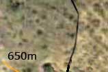
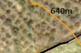
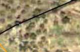
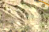
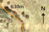
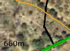
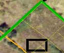
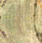
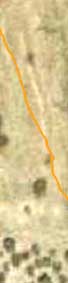
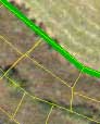
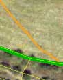
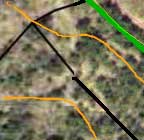
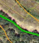
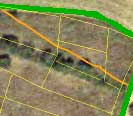
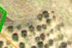
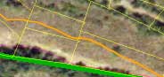
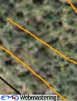
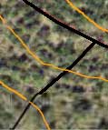
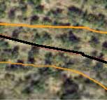
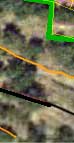
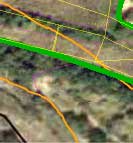
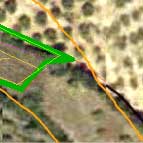
Satellite image (from SigPac). The terrain is inside the green polygone of the image with the black rectangular indicating the placement of our future house. The orange lines indicate altitude. When moving your mouse over the terrain you will get the option to see photographs taken from that part of the terrain. The photographs were taken on 25 March 2007, between 15:40 and 16:10 (in the future I hope to capture other dates and seasons). Hovering your mouse over the abcd square activates the grid used for the species distribution (see floristic catalogue). Clearly distinguishable are the cereal fields to the north, the almond orchards to the west and east and the Quercus forest to the south. The terrain slopes down to the northeast with a percentage between 10 and 30% The terrain measures roughly 190 x 60 m (12.000m²). |